Showing posts with label Cypress Hills. Show all posts

Saturday, November 2, 2024

Spruce Coulee Reservoir

In July, we paddled the Spruce Coulee Reservoir in the Cypress Hills Intraprovincial Park just southeast of Medicine Hat. Access requires a short trip (4km?) down a sandy gravel road, including a bit of a twisting downhill section. Not much worse than a bad alley in Edmonton, but something to be mindful of if you are a nervous driver.


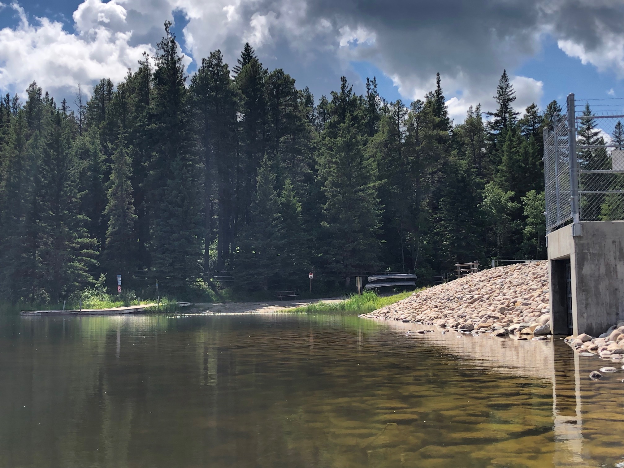
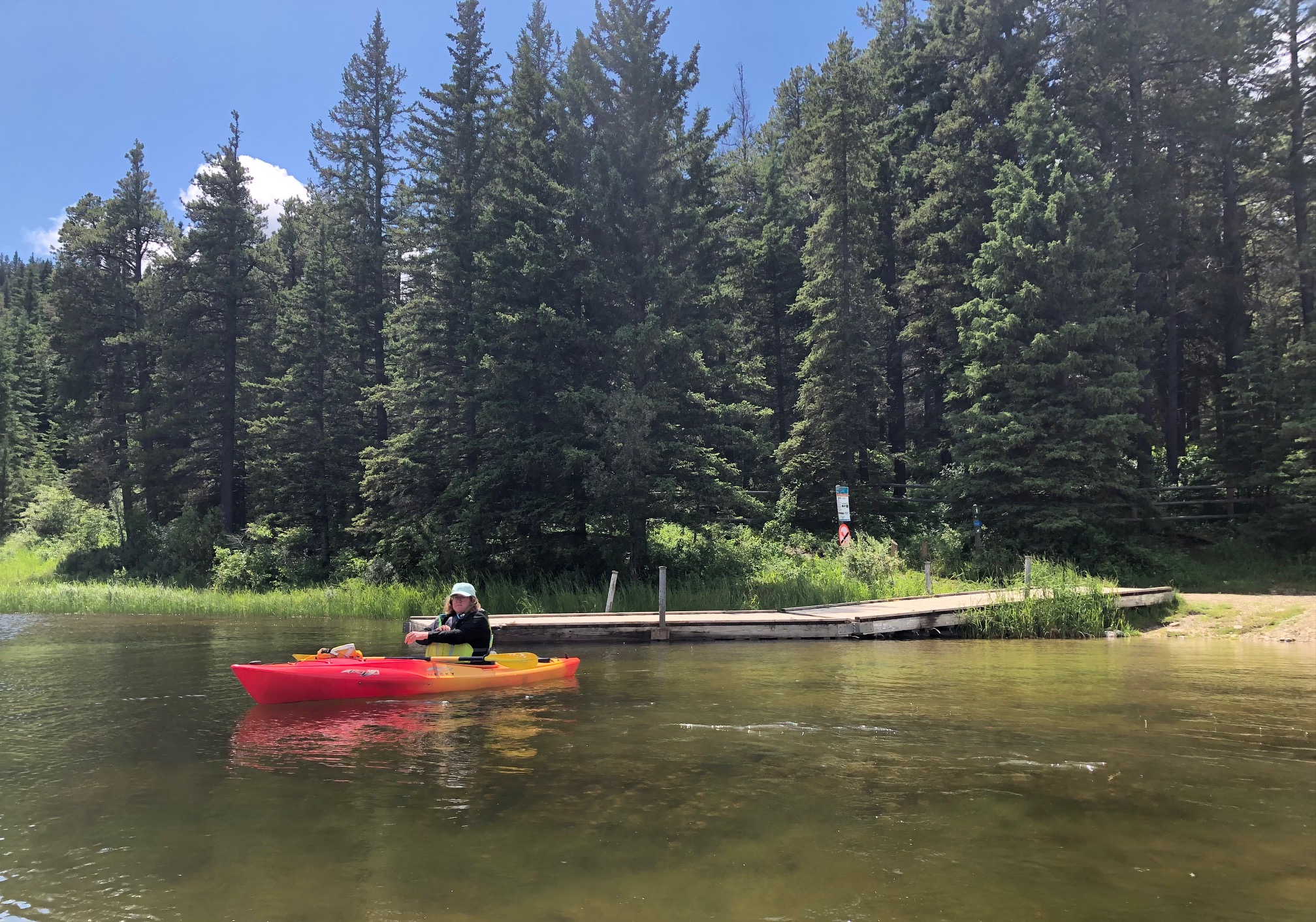
You can drop your boat right beside the sandy/silt launch, which includes a dock, pit toilets, tent camping, and a "comfort" cabin you can rent if you like. Super easy launch with nearby parking. There were also two aluminum canoes here on a rack that you can rent for the day from the shack on Elkwater Lake (I think it was $40 for the day).


This was my favourite paddle in the Cypress Hills. The lake has a very alpine vibe and was small, had a slight curve, and no real wind. There was also really no one else around.


We went south down the lake to the swamp at the south end. Lots of shore birds and waterfowl. The water is super clear and the bottom was interesting. No bugs on the lake but you could see lots in the bush!


We then turned up the short reach to the east and paddle around, rescuing dragon flies and poking into the small hidden bays behind the reeds.


Then we came back up the lake into a very slight breeze.


The dam is right beside the boat launch.

Overall, a super low-key paddle suitable for families and beginners. There was lots of nature to see. Definitely my favourite paddle in the park and maybe one of the top paddles this summer (so far).

Saturday, October 26, 2024

Reesor Lake

In early July, we were at the Reesor Lake reservoir in the Cypress Hills Intraprovincial Park, just southeast of Medicine Hat. it is an interesting drive into the area; watch out for cows on the road! It looks like you could get into the lake at either end with a bit of work but the easiest access was at the day-use area about halfway down the lake.


Lots of parking, a proper boat launch, and sandy bit beside it for beach(ish) launch. There are also pit toilets, benches, and the whole area (including the fishing platform) has received an upgrade since I was last here in 2019 (I think). There was a canoe rack here and it looks like you can rent canoes from the shack at Elkwater Lake (but there were no canoes in the rack or on the lake).


We waited out rain and crazy fog and then went in a mild breeze, grinding northwest into the wind and then being pushed back to the other end.


The north shore is mostly scrub with lots of lovely wild flowers. Lots of shorebirds here.


The moister south shore of the lake is wooded with pines. Below you there are grebes, pelicans, and a lone eagle in the pine tree.


The morning fog had visibility down to 50 feet at one point. The eagle was trying to dry its feathers out in the breeze after the fog lifted.


We sailed back down the lake to the dam at the southeast end. This was much more alpine than Elkwater Lake. There is a decent-sized campground at this end of the lake.


Then we paddled back. Maybe an hour round trip?

Overall, a nice enough paddle with clean water and only a few others kayaks on the lake. Great bird watching and a bit of a shame the weather was not great (second time I've tried for a sunny day here).

Saturday, October 19, 2024

Elkwater Lake

In early July, we had the chance to paddle Elkwater Lake in the Cypress Hills Intraprovincial Park (just southeast of Medicine Hat). Elkwater is approximately the same elevation as Banff and gets some pretty varied weather. Our paddle started out rainy and foggy and then turned lovely. Overall, Elkwater is a morning or evening paddle because of the afternoon winds and boats.


There are multiple boat and beach launches from the south shore of the lake. We went off the main beach (just east of the marina). The carry from the parking lot was about 100 feet and there is also a place to rent kayaks, canoes, and paddle boards here. There are nice washrooms and changing rooms here as well as picnic tables and fire pits and, of course, a lovely beach with a roped swimming area.


The east end of the lake is swampy reeds so we went across to the north shore while we waited for the sun, trying to get into the northern reach. The shoreline was steep and grassy, with a sandy bottom pretty much everywhere. There were no boats out due to the weather.


We pushed through a shallow reed bed and into the northern part of the lake as the sun came out. there were lots of birds here as well as a muskrat but not much else of interest. There were no boats here, perhaps because of the shallow depth.


We worked out way counter clockwise around the lake as the sun came out. This deer paralleled us up on the bluffs. The shore line is a mix of sandy cliffs (with swallows) and grassy hills coming down to the shore (lots of yellow-headed blackbirds).


The western end of the lake is basically this.


The south shore is treed and much more alpine. This distribution of trees reflects the availability of water on north-facing slopes.


We saw a hawk come low overhead screaming and, right behind it, was a bald eagle, talons extended. They circled for awhile. We also saw a grebe fishing and feeding its young what looked like a small perch. By this time, the water skiers were out and we decided to call it a day and head back for lunch.


Overall, Elkwater is a pretty clean lake. The perimeter is like just over 10km and there is a fair bit to see. The downsides are the wind and the boat traffic, especially in the middle the day.

Saturday, June 16, 2018

Elkwater Lake, Cypress Hills

Elkwater lake is located beside the town of Elkwater in the Cypress Hills, about an hour SE of Medicine Hat. I stayed overnight in Elkwater on the way back from a work trip a few weeks ago.


Elkwater is mostly a summer village with limited services (pub/bar, a few lodges, campgrounds) but is your best bet for accommodations in the Cypress Hills. I had very dramatic weather while I was there and it was (disappointingly) too cruddy to paddle.


The lake itself looks like it would be nice. It is about 3km east-west and has a northern leg that is maybe 2km long.


There are three easy access points. The first is off the parking lot near the community hall on 3rd Street (above). There is a dock that is silted up and offers a sandy bottom on the east side of the dock.


A bit further west is a public beach and marina. There is a boat launch as well as a nice beach launch. You can also rent boats here. Even further west (Fire Rock campground) there was another boat launch and beach area.


The south side of the lake has a nice walking path and groomed parkland. Despite the bad weather, things were definitely getting crowded with the trailer-and-boat crowd on Friday night. I suspect the lake would be pretty busy with boats on the weekend.


A pretty picture from the next morning (looking west from the causeway) gives a better impression of the lake in nice weather. I would definitely come back here and try again if I was down in the SE corner of the province again.

Sunday, June 10, 2018

Reesor Lake, Cypress Hills

Work took me past the Cypress Hills so I decided to stay the night in Elkwater (just southeast of Medicine Hat). There were two lakes I wanted to check out. The first was Reesor lake (which is a reservoir).


Reesor is southeast of the townsite and you you have to drive up to the top of the plateau and then back down. The road is paved all the way. I had pretty bad weather (driving up in the clouds with visibility of about 300 feet) but then things improved as the road dropped back down to the lake.


The picture above looks east down the lake from the first roadside pullout. You could get a boat in by the picnic table but the better access point is midway down the lake (below). There is a large gravel lot, washrooms, picnic tables, and a boat launch.


Boats with electric motors are allowed on the lake and there were two fishermen pulling out when I got there. there were also a lot of pelicans on the south side of the lake (breeding colony?)


The road continued to the east end of the lake. This end includes the dam and a turn-around spot. I think you could also get in here if you worked at it. The road turns to gravel and continued east towards Fort Walsh but looked wrecked in the raid (greasy clay base).


It was simply too cold to paddle (6 degrees on June 1 with drizzle) but I might go back if I were down here. There is also access to the spruce ponds off the same road, but, again, the road surface looks way to dodgy to try given how wet it was.